Satlas
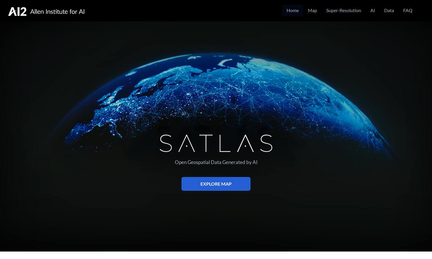
About Satlas
Satlas is a cutting-edge platform that allows users to analyze global environmental changes through AI-enhanced satellite imagery. Its innovative super-resolution feature transforms low-quality images into high-resolution versions, enabling researchers and environmental advocates to observe significant trends in tree cover, renewable energy, and marine infrastructure.
Satlas offers free, publicly available geospatial datasets. Users can easily access core features without charge, with options to enhance their experience through premium data access. With no subscription fees, Satlas provides incredible value to researchers seeking in-depth environmental analysis while maintaining comprehensive data access.
The intuitive design of Satlas ensures seamless navigation across its features. Users can easily access high-resolution satellite imagery and various analytical tools. The layout prioritizes user experience and functionality, making it simple for both researchers and casual users to explore and visualize planetary changes effectively.
How Satlas works
Users begin by visiting Satlas, where they can sign up for free access. Upon logging in, they can navigate through a user-friendly interface to explore AI-annotated satellite imagery and geospatial data. The platform employs super-resolution technology to enhance images, allowing users to analyze environmental changes, such as tree cover loss and renewable energy developments efficiently.
Key Features for Satlas
Super-Resolution Imagery
Satlas features an innovative super-resolution capability, enhancing satellite images to provide high-resolution outputs. This functionality helps users see fine details of environmental changes, offering deeper insights into marine and renewable energy developments, and making Satlas essential for researchers and decision-makers.
AI-Generated Geospatial Datasets
The AI-generated geospatial datasets of Satlas are a valuable resource for users seeking comprehensive environmental data. These datasets, available for offline analysis, enable researchers and environmentalists to study trends and changes effectively, enhancing their understanding of crucial global issues.
Real-Time Environmental Insights
Satlas delivers real-time insights into environmental changes, allowing users to track developments in marine infrastructure and renewable energy projects. This feature equips researchers with timely data crucial for making informed decisions and advocating for sustainable practices in various ecosystems.
You may also like: